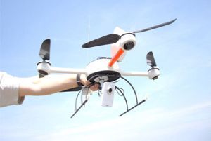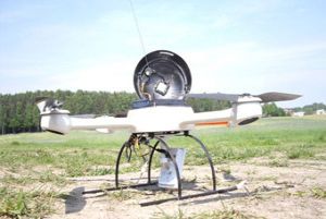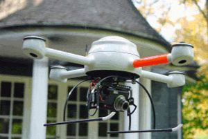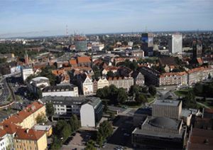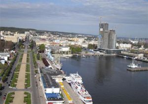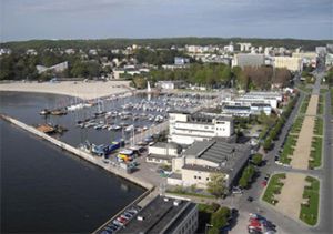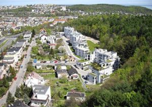
Unmanned flying aparatus
Within the frames of the I Regional Operational Program for the Pomeranian Region, for the time schedule 2007-2013, the project nmr. WND-RPPM 01.02-00-245/08 subaction 1.1.2 was completed with the partial finance of the European Union – European Regional Development Fund, Project Title: „The Increase of competitiveness of Microsystem company, through the purchase of an unmmaned, remotely controlled helicopter with its accesories”.

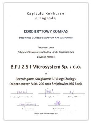
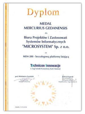
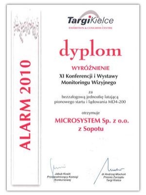
For the advanced technologies of our products, as well as the applied innovation, we received multiple awards, among others:
1. On 27-08-2008, in Gdansk, we were awarded the honorous distinction in the form of the cordierite compass – Innovations for the Public.
2. During the VII edition of Industrial Technics, Science and Innovation show, that took place on October 14th 2010, we were awarded the medal of Mercurius Gedanensis for Technical Innovations.
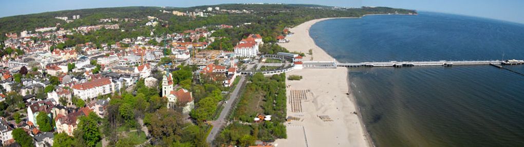
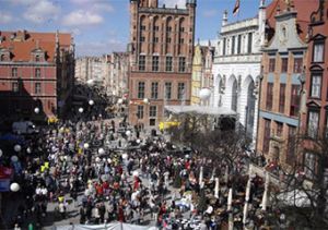
3. At Kielce trade show on November 5th 2010, during the XI conference and Exhibition of Visual Monitoring, we received a diploma for our distinction in unmanned flying aparatus.